


8,6 km | 14,5 km-effort

Utilisateur


Application GPS de randonnée GRATUITE
 SityTrail
IGN / Instituts géographiques
SityTrail World
Le monde est à vous
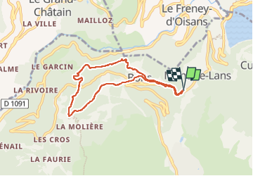
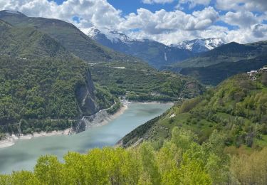
Randonnée Marche de 6,9 km à découvrir à Auvergne-Rhône-Alpes, Isère, Les Deux Alpes. Cette randonnée est proposée par parastat.
Entre Bons et la porte un peu de prudence avec de jeunes enfants.
Le parking à Mont de Lans ajoute un peu de route mais reste bien pratique.
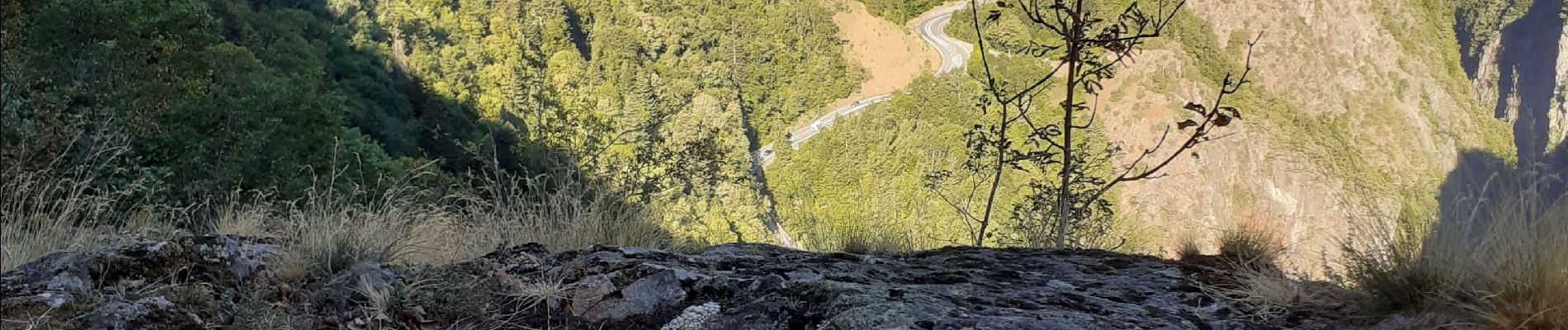
Beaucoup de sous-bois: agréable par temps chaud


Marche
Vélo électrique
Marche
Marche
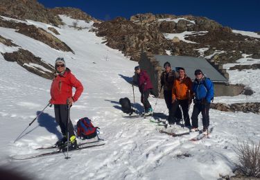
Ski de randonnée
Ski de randonnée
Marche

Autre activité

Via ferrata